One sprawling city! Lowering greenhouse emissions becomes a Herculean task the more Winnipeg sprawls
Read this article for free:
or
Already have an account? Log in here »
To continue reading, please subscribe:
Monthly Digital Subscription
$0 for the first 4 weeks*
- Enjoy unlimited reading on winnipegfreepress.com
- Read the E-Edition, our digital replica newspaper
- Access News Break, our award-winning app
- Play interactive puzzles
*No charge for 4 weeks then price increases to the regular rate of $19.00 plus GST every four weeks. Offer available to new and qualified returning subscribers only. Cancel any time.
Monthly Digital Subscription
$4.75/week*
- Enjoy unlimited reading on winnipegfreepress.com
- Read the E-Edition, our digital replica newspaper
- Access News Break, our award-winning app
- Play interactive puzzles
*Billed as $19 plus GST every four weeks. Cancel any time.
To continue reading, please subscribe:
Add Free Press access to your Brandon Sun subscription for only an additional
$1 for the first 4 weeks*
*Your next subscription payment will increase by $1.00 and you will be charged $16.99 plus GST for four weeks. After four weeks, your payment will increase to $23.99 plus GST every four weeks.
Read unlimited articles for free today:
or
Already have an account? Log in here »
Hey there, time traveller!
This article was published 24/07/2020 (1969 days ago), so information in it may no longer be current.
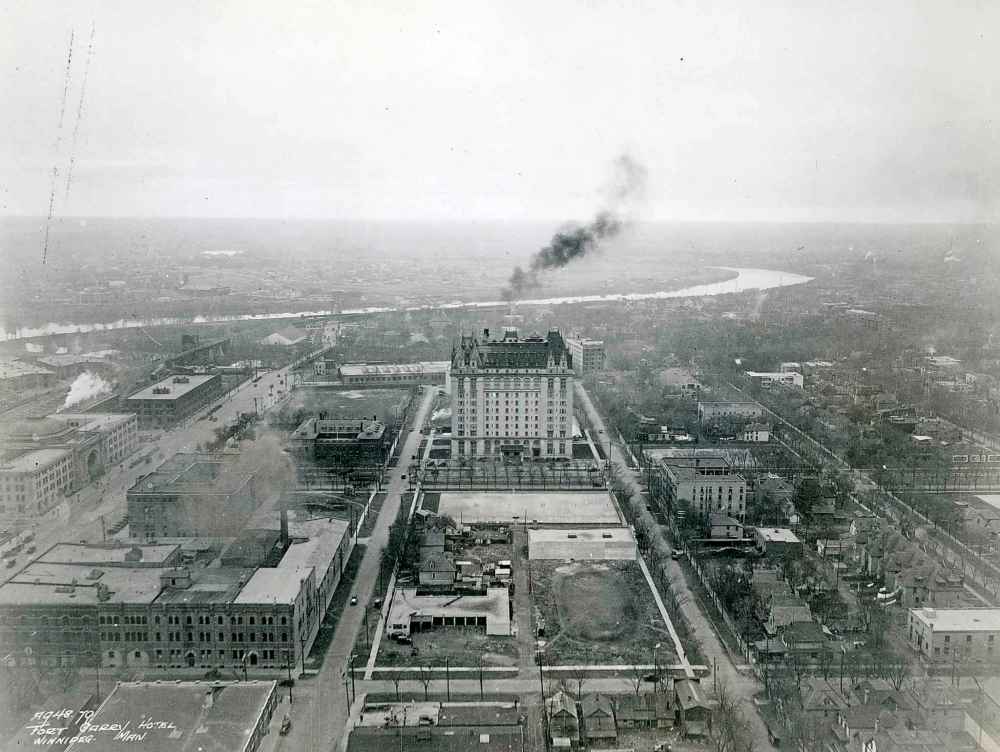
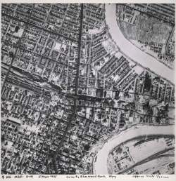
The main arteries of this city tell the story of how Winnipeg grew into a metropolis.
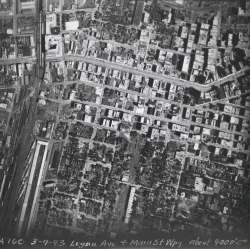
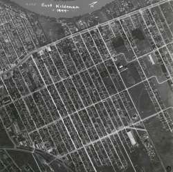
Pembina, Portage, Main, Henderson Highway — all of these streets snaking their way through a growing city — used to act as principal corridors connecting the downtown core to bedroom communities that, once upon a time, stood on their own.
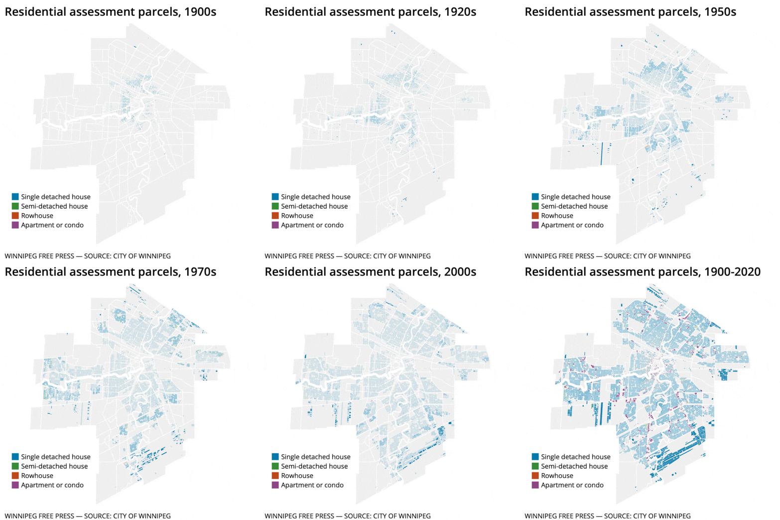
They tell the story of how urban sprawl was virtually carved into the DNA of the city as far back as the early 1900s.
“We really couldn’t avoid it — because of the way we were set up, because there were individual cities and municipalities set up surrounding the downtown core,” says Winnipeg-focused historical consultant Murray Peterson.
“The city was moving in all directions outward… you naturally had sprawl.”
The nature of urban sprawl in Winnipeg has changed over that time, he says. In the beginning, it was driven, ironically, by public transport.
“Wherever the street car went, you could get development,” he says.
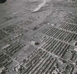
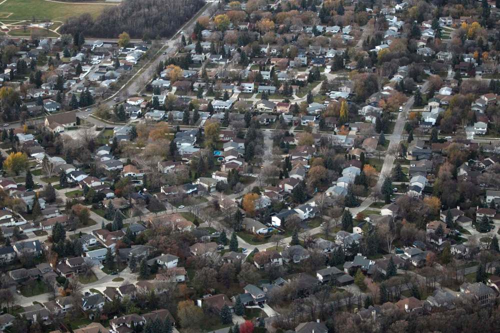
Now it’s driven more by low-density suburban housing development, which is cheaper to build in the sticks than it is to redevelop sites within the city. New builds are “fairly significant” in several areas, says Christopher Storie, the director of the University of Winnipeg’s Institute of Urban Studies.
Continuous development can be seen north of Garden City, as well as in the southwest and in the vicinity of the Island Lakes neighbourhood in the southeast, he says. The result is a city that is still pushing the outer boundaries further from the downtown core.
Based on city census data, the number of people living in Island Lakes grew from 510 in 1986 to 7,465 in 2011. In the same time period, Riverbend, located off Main Street inside the Perimeter Highway, grew from 780 people to 5,390.
Even communities with more established neighbourhoods, such as Richmond West, grew from 2,995 in 1986 to 8,240 people by 2011. These neighbourhoods are outpacing the growth rates of the city as a whole.
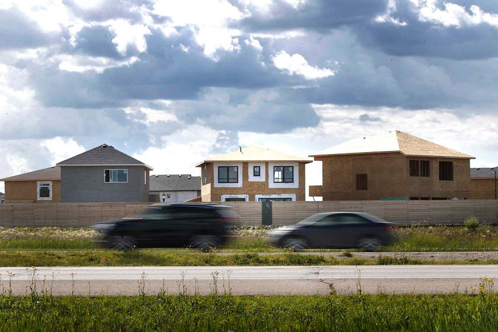
And the sprawl continues to the edges of the Perimeter Highway. The Waverley West development in south Winnipeg, which was given the green light in 2005, was designed for 40,000 residents by 2020.
Sage Creek, where the first home in the development to the east of Island Lakes was built in 2005, will be home to 12,000 by 2028.
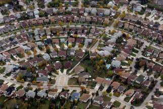
“We have continued to sprawl in a classic sense — the single-family or light-density residential housing — towards the perimeters of the city,” Storie says.
● ● ●
These patterns of development do more than increase infrastructure spending for the municipality and lengthen the time it takes to drive from one end of the city to the other. The way a city develops creates the patterns in which its people live. And when it comes to climate change, they create entrenched behaviours that make lowering greenhouse gas emissions a Herculean task.
Statistics Canada did a side-by-side comparison of data gathered in 1996 and 2016 to look at how continued sprawl — not only in Winnipeg but across the country — was changing the dynamics of how far people travelled to reach work.
The study of long-form census data found that in Winnipeg the most concentrated place of work is in the downtown core, with 47.5 per cent of jobs within five kilometres of city hall, while another 40.4 per cent of jobs are between five and 10 kilometres of city hall. But fewer people are living in areas with short commutes to this high-density employment zone.
In 1996, 36.8 per cent of Winnipeggers lived within five kilometres of the city centre. Two decades later that number had fallen to 28.4 per cent, which is still the highest percentage of people located in close proximity of the urban core when compared to the seven other Canadian cities studied. But every city saw an increase in dispersal of people away from the city core.
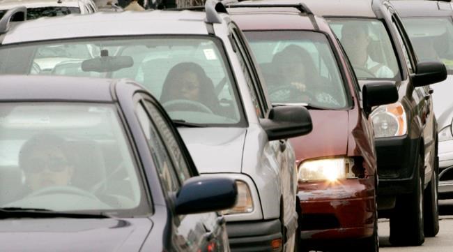
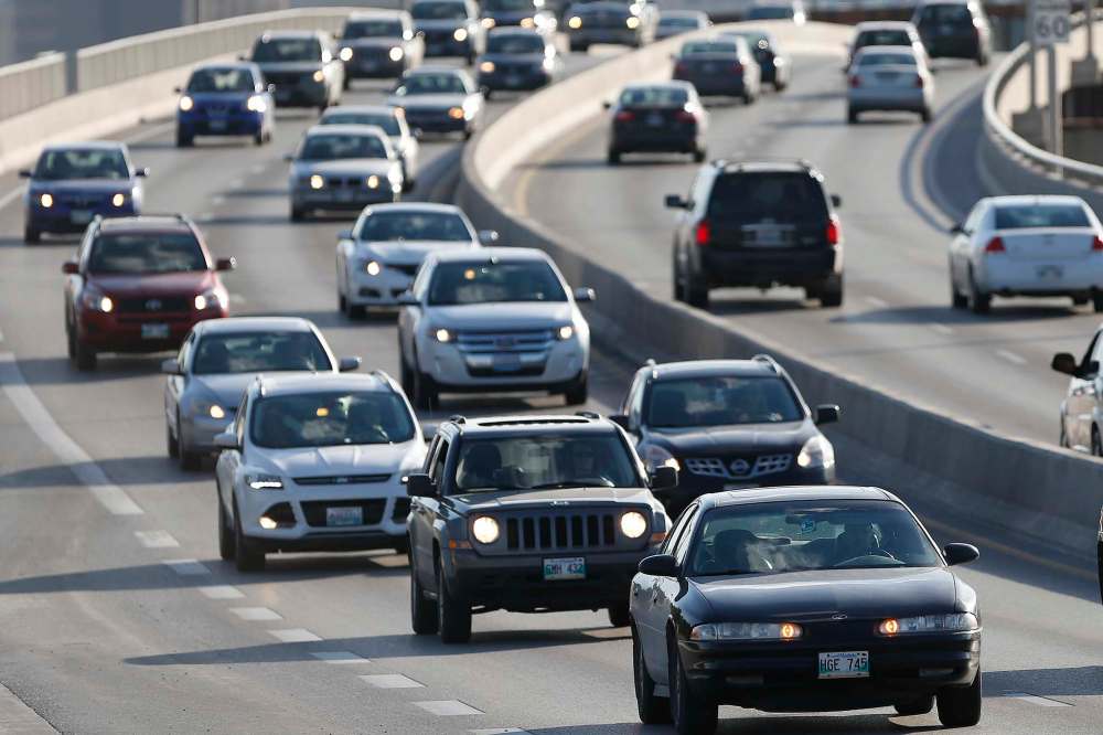
During that 20-year period, Winnipeg saw an increase of more than 20,000 people using a vehicle as the primary means of transport to get to work, which is now the preferred mode of 78.8 per cent of the city’s roughly 345,000 commuters.
So, it is no surprise then when emissions reports show residents’ passenger vehicles are responsible for approximately one-third of all the emissions generated in the city.
High-density builds picking up steam
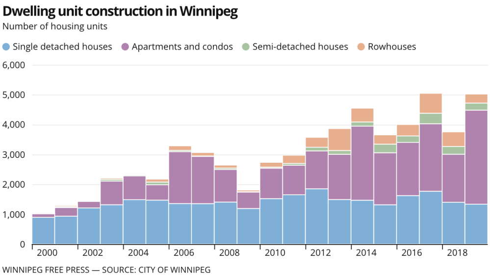
In Winnipeg since 2000, more than 28,000 new building permits have been issued for single-family homes, with peaks in construction coming in 2012 and 2017.
In the same period, medium-density options saw meagre advances with only 2,100 semi-detached home permits issued, and 4,700 row house permits issued.
Higher-density options advanced on par with single-family residences. The city issued permits for 25,000 apartment-style units to be constructed.
And while permits for single-family dwellings have remained remarkably stable since 2000, permits for apartments have been increasing steadily. In 2000, permits were issued for 119 units. In 2019, permits for 3,145 units were issued.
Storie says it is good to see progress on more density development, but it still doesn’t mitigate the continued pressure on the city to continue its outward expansion.
While it was a pattern developed very early in Winnipeg history, it was further cemented in the postwar years, Storie explains, wherein the inner-city housing was the more affordable option, and thus was often where new immigrants would live.
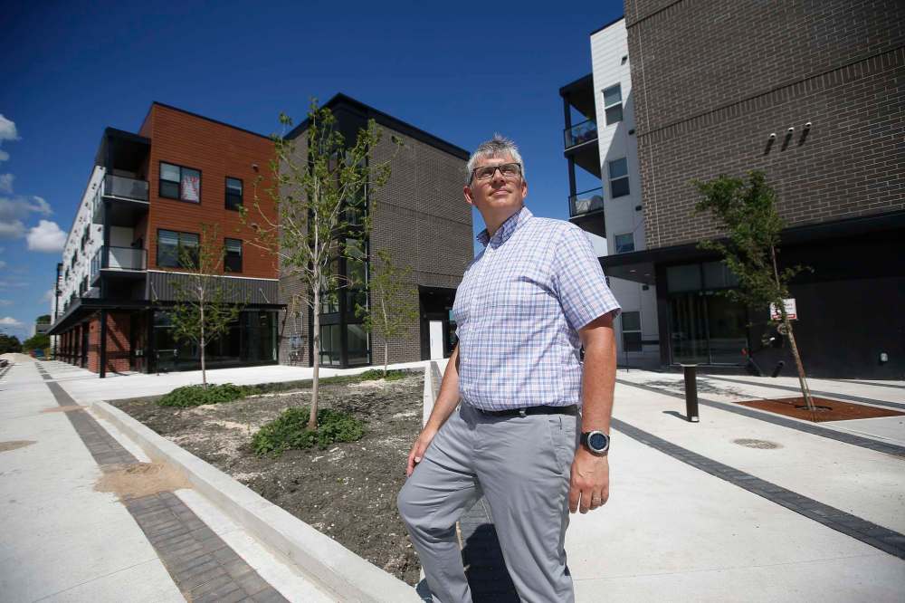
But as the family began to generate more wealth, they typically moved out to single-family homes in the suburbs with more space, and they did this likely at the same time they were able to afford a car for transport into the core, he says.
In the postwar years, sprawl and its connection and reliance on transit systems was effectively severed as suburbanites became car-bound for their commutes.
“And then as we sort of added a highly consumer lifestyle to the mix, the need to not only house the humans within the family, but then the stuff that comes with the shifting lifestyle, the move towards disposable, cheap items.
“And it all just begins to group together, and the cost of building housing, and large housing… is much more affordable building on land at the perimeter compared with infill and redevelopment in the interior,” Storie says.
● ● ●
The city, as part of its climate strategy passed by council in 2018, has begun addressing urban sprawl and has committed to infill making up 50 per cent of all residential development by 2030 in order to increase the city’s density.
Winnipeg’s sluggish, often indecisive response to climate change has placed it well behind other cities in Canada
Posted:
There are many instances where municipal governments find themselves hamstrung, victims to the whims of larger governments with bigger spending power and more expansive jurisdictions.
“We want to be considering that as the city spreads out more, then we would expect to see that the number and length of person vehicle (trips) are increasing and other (transportation) options may become less viable or more costly for the city to implement,” says Lindsay Mierau, manager of the city’s Office of Sustainability.
“And that has direct implications for addressing greenhouse-gas emissions.”
The city plans to focus infill development in strategic areas close to transit corridors, and it will also move focus away from single-detached residences that are more energy intensive than their denser counterparts, Mierau says.
This is one aspect of the city’s climate plan that aims to reduce greenhouse gas emissions by 20 per cent by 2030, when compared with 2011 emissions.
In order to limit global warming to 1.5 C this century, emissions need to be reduced by 7.6 per cent every year between 2020 and 2030.
Storie says the kinds of goals the city is laying out for infill will require policy changes since it is often a secondary choice for developers because it is typically more costly, given land-acquisition costs.
Coun. Brian Mayes, chairman of the Standing Committee on Water and Waste, Riverbank Management and the Environment, says he thinks focusing on density alone is an oversimplification of the problem. There has already been focus on reimagining suburbs to be more complete communities that people don’t have to leave as often, he says.
Then, there is the problem that if single-family homes end up being in short supply in Winnipeg, there’s nothing stopping people from buying in neighbouring communities and taking their tax dollars with them, he says.
“It’s all billed as if we just need to build up,” he says. “Well that’s a bit simplistic. We do need to have people living downtown, but there’s tens of thousands of people who don’t want that.” he says.
“We do need to have people living downtown, but there’s tens of thousands of people who don’t want that.”–Coun. Brian Mayes
● ● ●
Winnipeg is far from the only city to struggle with urban sprawl. It’s a question that’s been raised in towns and cities across North America, in large part because there is no shortage of land.
New, imaginative approaches to sustainable neighbourhood development are being considered across the country and around the world. For example, in Edmonton, the city is undertaking a first-of-its-kind community — called Blatchford.
Planners are attempting to reimagine the concept of a neighbourhood with pedestrian streets, relegating cars to back lanes. The community will be collectively powered using geothermal heat-pump technology to provide more efficient heating and cooling systems. And local businesses and recreational facilities will be integrated within the community in an attempt to bring services to residents, instead of forcing them to travel to find those services which, the theory goes, lowers their reliance on personal vehicles.
But at the same time, bedroom communities across Canada are growing at alarming rates as sprawl in major cities hits certain thresholds. Cochrane, 40 kilometres northeast of Calgary, saw a growth rate of 47.1 per cent between 2011 and 2016, Statistics Canada says. That was second only to Warman, Sask., just north of Saskatoon, which grew by 55.1 per cent.
Manitoba hasn’t seen the same explosion in growth rates of bedroom communities that’s been witnessed in Alberta, Ontario, Quebec and Saskatchewan, but the Rural Municipality of Ritchot, just south of Winnipeg, did make the top 20 list for 2011-2016, with a growth rate of 21.9 per cent.
The Canadian Centre for Policy Alternatives reported last fall that more than half of the residents living in communities surrounding Winnipeg commuted into the city on a daily basis — from Springfield, Headingley, St. Clements and East and West St. Paul.
“We have a very strong car culture in this city, so there needs to be incentive, either through rebate program or through a provision of services, whereby we get people out of their vehicles and into transit, and reduce that demand on the car.”–Christopher Storie
Sprawl has been looked at from every which way, Storie says — the effect it has on infrastructure spending, on the provision of services, on the socioeconomic inequality between neighbourhoods. As climate change becomes a major action item on cities’ agendas, however, transportation needs of people living further from work and services really is the biggest challenge.
“My biggest concern here, in terms of urban development, is the balance between sprawl and transportation and efficiency of transportation,” he says.
“We have a very strong car culture in this city, so there needs to be incentive, either through rebate program or through a provision of services, whereby we get people out of their vehicles and into transit, and reduce that demand on the car.”
sarah.lawrynuik@freepress.mb.ca
Twitter: @SarahLawrynuik
History
Updated on Friday, July 24, 2020 10:11 PM CDT: Updates Institute name.

