Province closes floodway as higher-than-normal river levels recede
Read this article for free:
or
Already have an account? Log in here »
To continue reading, please subscribe:
Monthly Digital Subscription
$0 for the first 4 weeks*
- Enjoy unlimited reading on winnipegfreepress.com
- Read the E-Edition, our digital replica newspaper
- Access News Break, our award-winning app
- Play interactive puzzles
*No charge for 4 weeks then price increases to the regular rate of $19.00 plus GST every four weeks. Offer available to new and qualified returning subscribers only. Cancel any time.
Monthly Digital Subscription
$4.75/week*
- Enjoy unlimited reading on winnipegfreepress.com
- Read the E-Edition, our digital replica newspaper
- Access News Break, our award-winning app
- Play interactive puzzles
*Billed as $19 plus GST every four weeks. Cancel any time.
To continue reading, please subscribe:
Add Free Press access to your Brandon Sun subscription for only an additional
$1 for the first 4 weeks*
*Your next subscription payment will increase by $1.00 and you will be charged $16.99 plus GST for four weeks. After four weeks, your payment will increase to $23.99 plus GST every four weeks.
Read unlimited articles for free today:
or
Already have an account? Log in here »
Hey there, time traveller!
This article was published 07/11/2019 (2229 days ago), so information in it may no longer be current.
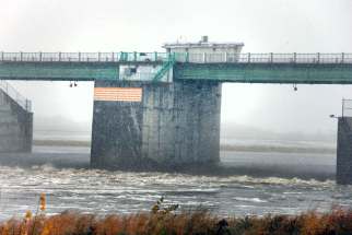
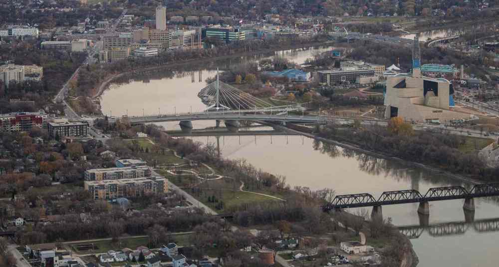
The province has closed the floodway despite higher-than-normal levels for this time of year for both the Red and Assiniboine rivers.
It’s still not known what effect water levels — and the freeze-up to come — will mean to this year’s skating trails but the snowmobile enthusiasts are being urged to be cautious.
The province can use the floodway at times other than spring — even if there is a risk to properties south of the city — if there’s an increased likelihood of Winnipeg basements flooding, the Red’s level is at 14 feet above normal at the James Street pumping station and there is rain in the forecast.
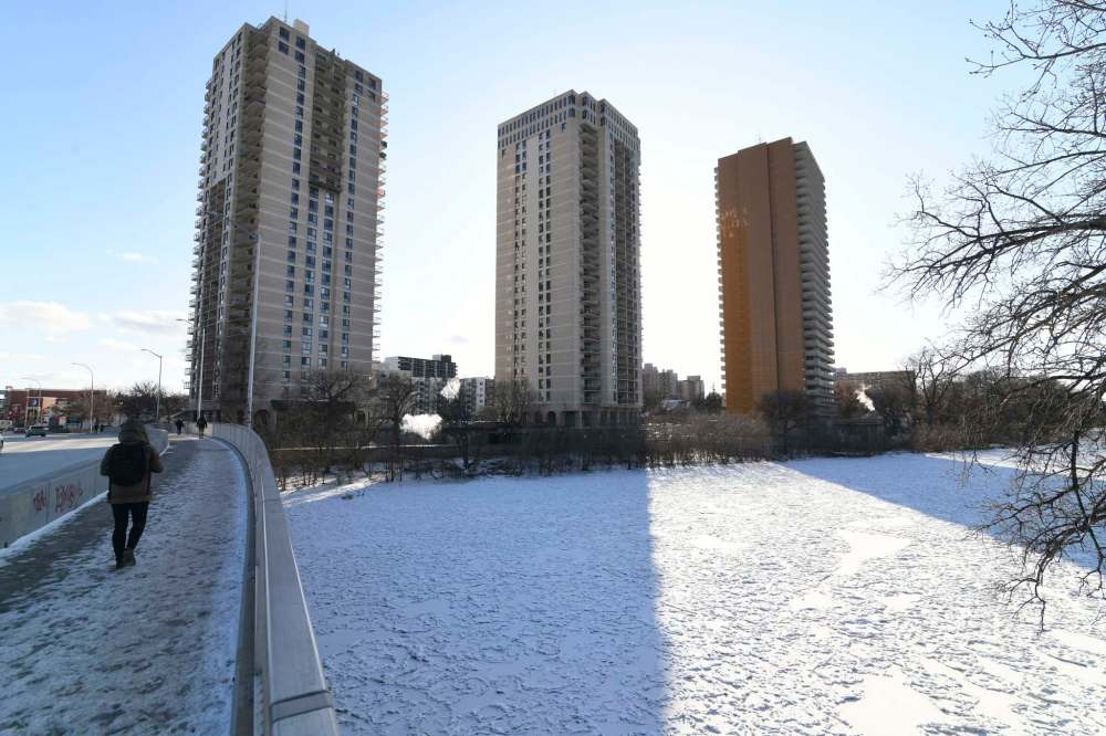
The Red is currently between six and eight metres higher than normal at this time of the year south of Winnipeg; north of the city it is between two and five metres higher than normal, the province says.
And while high water in the fall increases flood risk in the spring, the province said other factors — including winter and spring precipitation and the rate of the spring thaw — will ultimately determine conditions.
Jay Doering, a civil engineering professor at the University of Manitoba, said the province is right to shut down the use of the floodway control structure.
“The (water) levels have gone down significantly,” Doering said Thursday. “We’ve never been in a situation where we’ve had to use the floodway this late in the year — the latest it was used before was August.”
Graphic: Today's James Avenue water levels
Posted:
Water levels in Winnipeg are measured in “feet James,” the level above the normal winter ice level as measured at a gauge on the Red River east of James Avenue in the Exchange District, just downstream of The Forks where the Red and Assiniboine rivers meet.
Thursday at 2:58 p.m., the Red River water level at James Avenue in downtown Winnipeg was recorded at 743.47 feet, 15.9 feet above the normal winter ice level of 727.57 feet.
By comparison, it was at 1.05 feet above the winter level at James Avenue a year ago.
The lowest the Red was during summer 2019 was 6.26 feet above 727.57 feet, and it has been steadily going up since then.
Currently, the level at James Avenue is slightly higher than the peak of 15.7 feet recorded during the spring flood in 2018. Other peak times recorded on the Red were 24.5 feet recorded during the Flood of the Century in 1997, 22.6 feet in 2009, 26.3 feet in 1966, 30.3 feet in 1950 and 37 feet in 1826. The last three years were before the floodway was constructed.
The Assiniboine is also higher than normal and the walkway that runs alongside it becomes submerged when the river gets above 224.35 feet, or 8.5 feet above normal.
Meanwhile, Larissa Peck, a spokeswoman for The Forks North Portage Partnership, said it’s impossible to predict at this time what will happen with the skating trail this year.
“This year we are certainly playing it by ear,” she said. “Safety is our first priority, but another priority is to have that beloved water amenity. But Mother Nature calls the shots.
“We’re not writing it off, but we’re playing it by ear.”
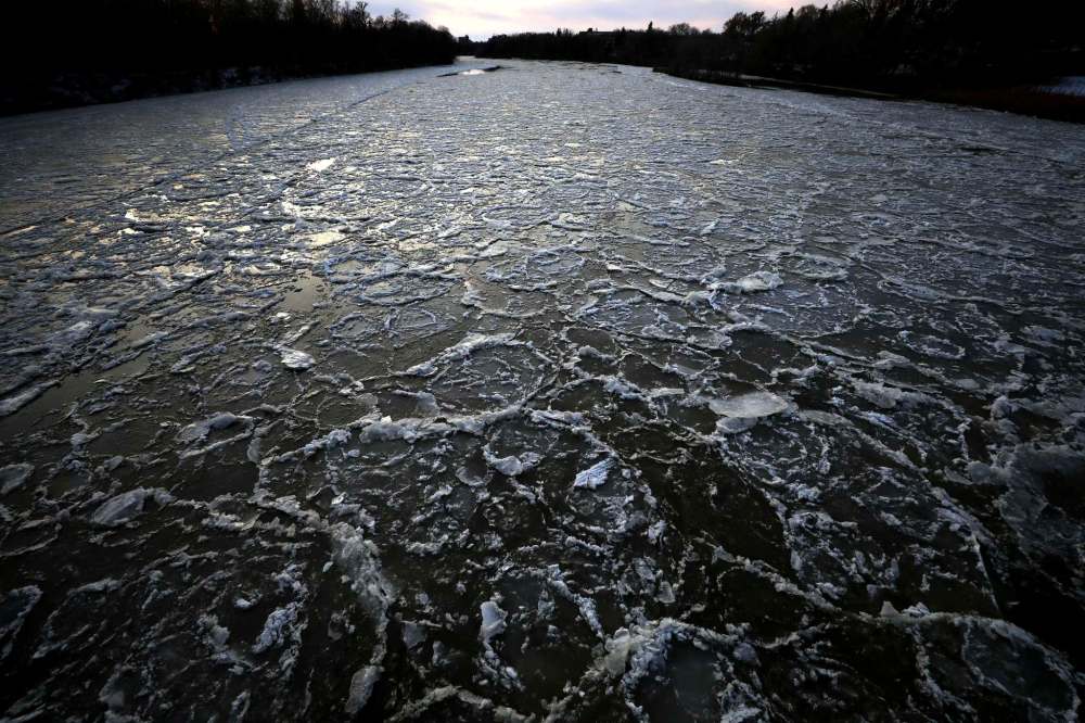
Yvonne Rideout, executive director of SNOMAN, the Snowmobilers of Manitoba, said conditions could be dangerous for people wanting to go on open ice this year, especially if if the freeze happens when water levels are high and then drop under the ice, leaving a gap.
“I’m pretty sure there will be some clubs which will be redirecting tracks on to land,” Rideout said. “There are a lot of tracks on lakes in the province.
“People will have to be aware of ice conditions — especially this year. This will be a wait-and-see year for sure.”
Doering said there’s no way to predict if there will be flooding in the spring, but he said saturated soil and high water levels — two contributing factors — are already present.
“But we don’t know how much precipitation we’ll get in the winter, how fast it will melt, and whether there will be rain (in early spring)… but conditions can change very quickly,” he said.
“Until the April blizzard in 1997, it was going to be a non-event… this year, we have moderately dry soil for a lot of the summer than then came a Colorado low and a cold front.
“Things can really change quickly and we just need to recognize where we are starting from.”
kevin.rollason@freepress.mb.ca

Kevin Rollason is one of the more versatile reporters at the Winnipeg Free Press. Whether it is covering city hall, the law courts, or general reporting, Rollason can be counted on to not only answer the 5 Ws — Who, What, When, Where and Why — but to do it in an interesting and accessible way for readers.
Our newsroom depends on a growing audience of readers to power our journalism. If you are not a paid reader, please consider becoming a subscriber.
Our newsroom depends on its audience of readers to power our journalism. Thank you for your support.


