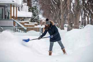
Winnipeg is all snowed up
Read this article for free:
or
Already have an account? Log in here »
To continue reading, please subscribe:
Monthly Digital Subscription
$1 per week for 24 weeks*
- Enjoy unlimited reading on winnipegfreepress.com
- Read the E-Edition, our digital replica newspaper
- Access News Break, our award-winning app
- Play interactive puzzles
*Billed as $4.00 plus GST every four weeks. After 24 weeks, price increases to the regular rate of $19.95 plus GST every four weeks. Offer available to new and qualified returning subscribers only. Cancel any time.
Monthly Digital Subscription
$4.99/week*
- Enjoy unlimited reading on winnipegfreepress.com
- Read the E-Edition, our digital replica newspaper
- Access News Break, our award-winning app
- Play interactive puzzles
*Billed as $19.95 plus GST every four weeks. Cancel any time.
To continue reading, please subscribe:
Add Free Press access to your Brandon Sun subscription for only an additional
$1 for the first 4 weeks*
*Your next subscription payment will increase by $1.00 and you will be charged $16.99 plus GST for four weeks. After four weeks, your payment will increase to $23.99 plus GST every four weeks.
Read unlimited articles for free today:
or
Already have an account? Log in here »
Hey there, time traveller!
This article was published 18/01/2022 (1558 days ago), so information in it may no longer be current.
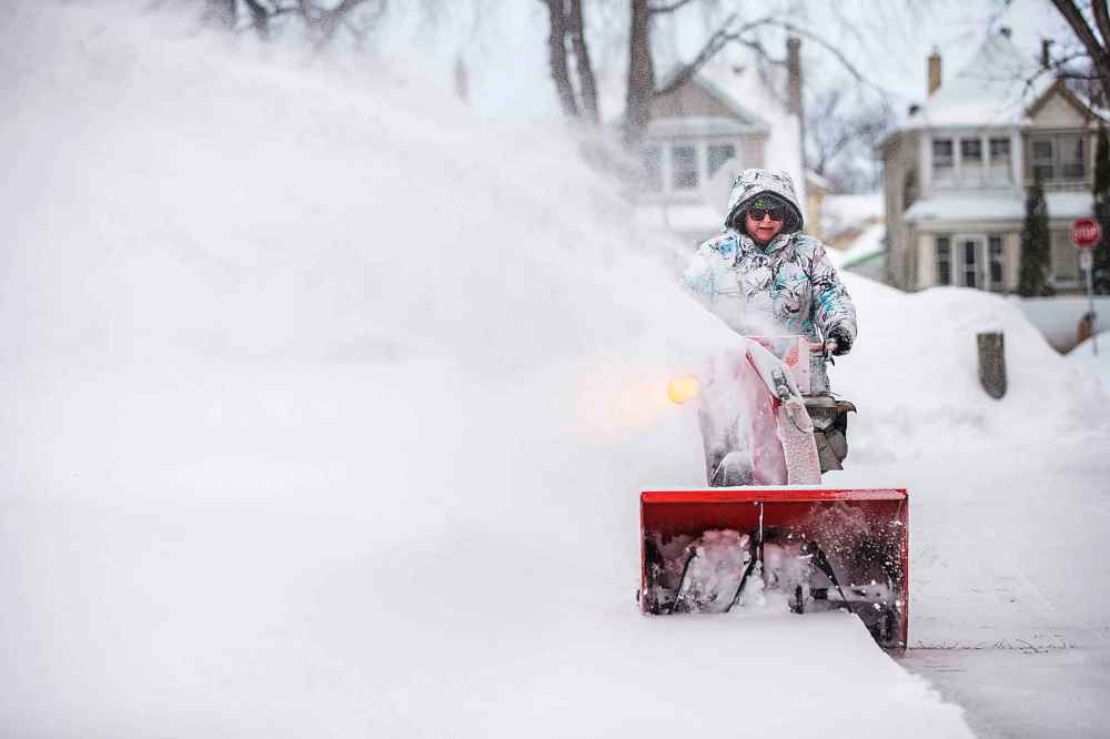
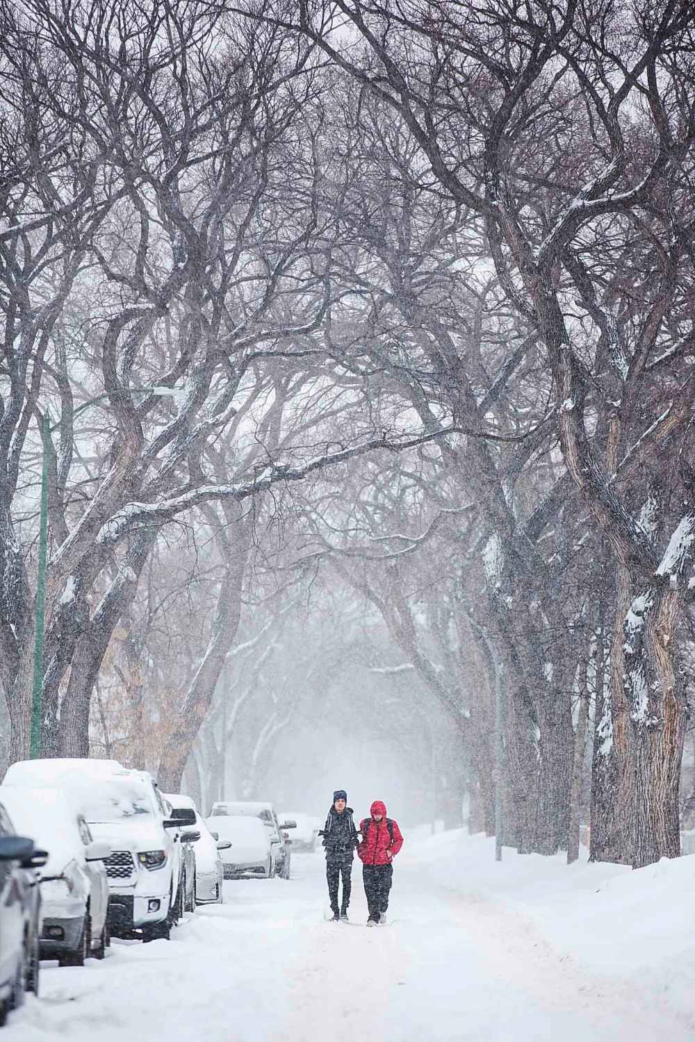
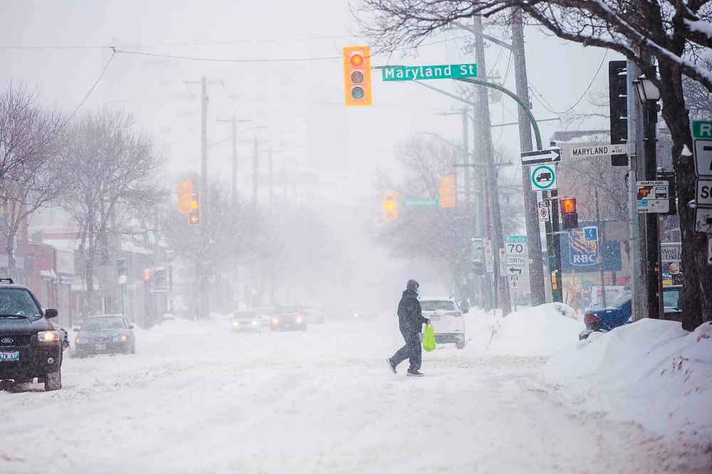
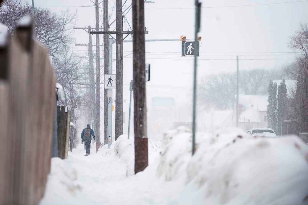
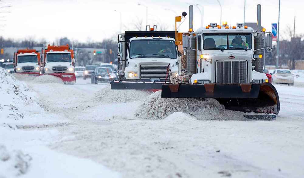
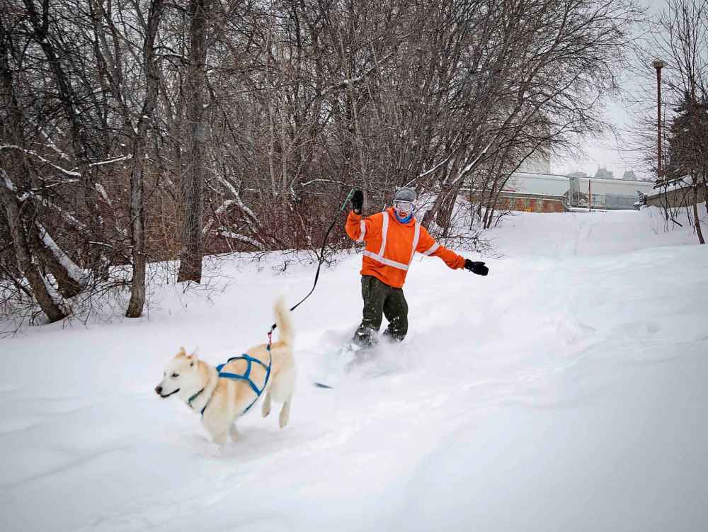
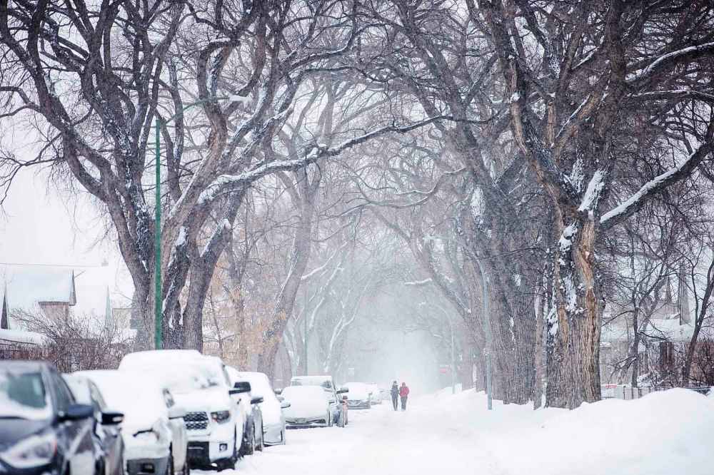
Fresh snowfall in Winnipeg Monday night and Tuesday blanketed the city, while high winds and plunging temperatures Tuesday afternoon and evening were expected to create hazardous conditions.
A winter storm warning was in effect Tuesday in Winnipeg and most of southern Manitoba.
Ten to 15 cm of fresh snow fell overnight, and snow continued to fall most of the day Tuesday. The low-pressure system responsible for the snow will also produce significant north winds, gusting up to 80 km/h at times, Environment Canada said.
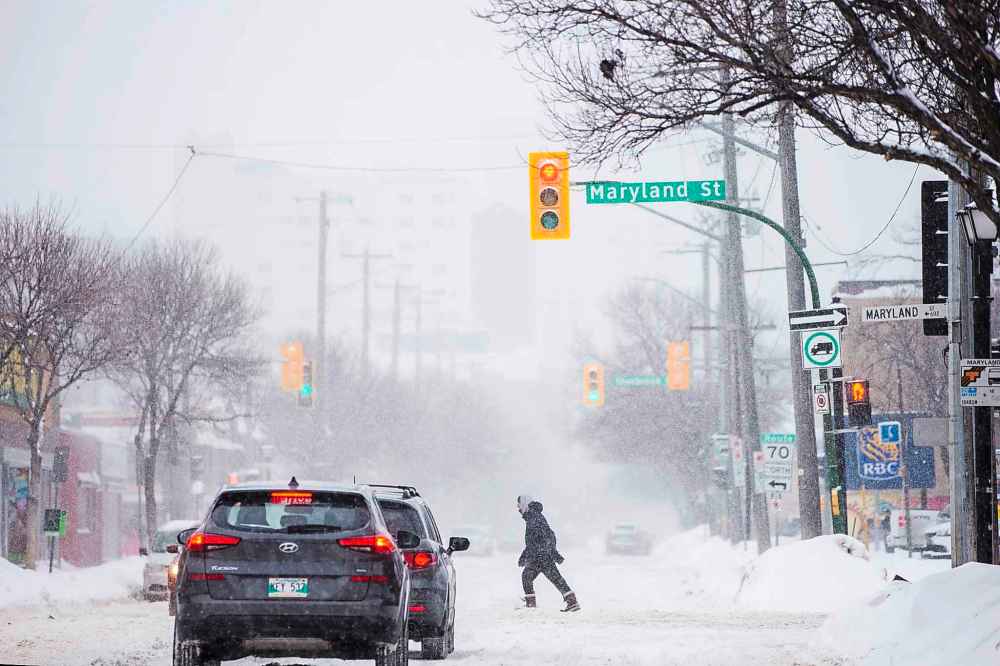
Blowing snow will severely hamper visibility on highways, the weather agency said.
Gusts will begin to slow late this evening, leading to improved visibility by Wednesday morning.
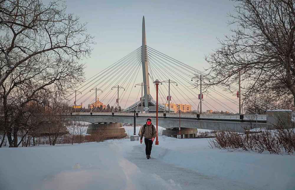
Following the storm system, an arctic ridge of high pressure will clear skies and drop temperatures into the -20s starting Tuesday evening. Wind chill values will approach the -40 mark before temperatures moderate somewhat near the end of the week, the weather agency said.
So far this year, Winnipeg has had 78.6 centimetres of snow dumped on it, compared to 55.2 cm at this time last year and 101.1 cm up until this time during the winter of 2019-20.
The average snowfall at this point is 59.9 cm.
